OCC provides a comprehensive list of ticket information when transmitting locate requests to member utilities, including a detailed map displaying the centerline of a utility corridor in relation to the excavation polygon. This information can be viewed online from any computer or mobile device.
Centerline Display allows member utilities to:
- Quickly identify the worksite to determine a necessary response
- Establish patterns of frequent excavation or over-notification
- Gather information on the surrounding area
- Secure access with password protection – keeping your confidential information safe
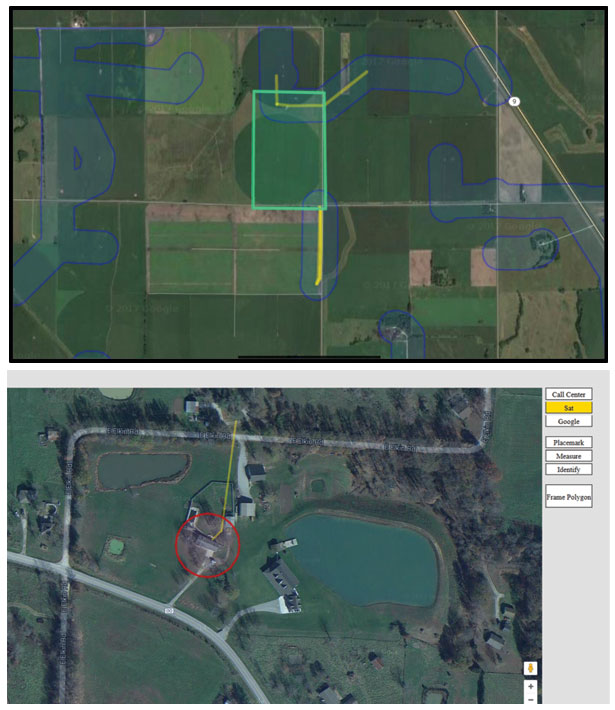
Centerline data (yellow) can be viewed in several map formats. 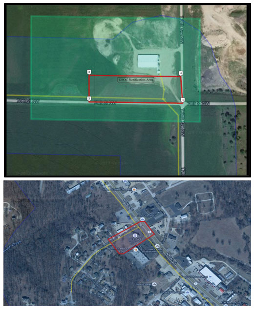
The utility centerline data (yellow) is overlaid with the relevant notification polygon and the excavation polygon, providing all relevant visual information in one place.